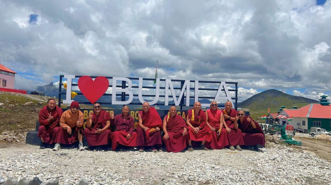
Bumla Pass: A Historic Himalayan Gateway Between India and China
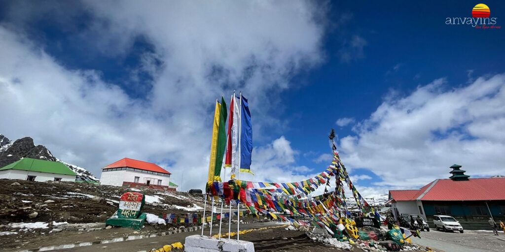
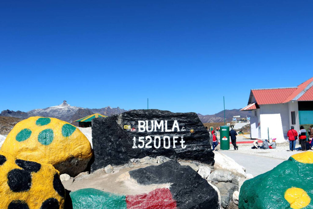
Bumla Pass, located at an altitude of approximately 15,200 feet above sea level, is one of the most breathtaking and historically significant mountain passes in Arunachal Pradesh, India. Situated about 37 kilometers from Tawang town, this high-altitude pass marks the Indo-China border and stands as a symbol of peace, resilience, and strategic importance. Surrounded by snow-clad peaks and pristine landscapes, Bumla Pass offers travelers a rare glimpse into the rugged beauty of the Eastern Himalayas and the deep-rooted history that shaped this frontier region.
Historical Significance
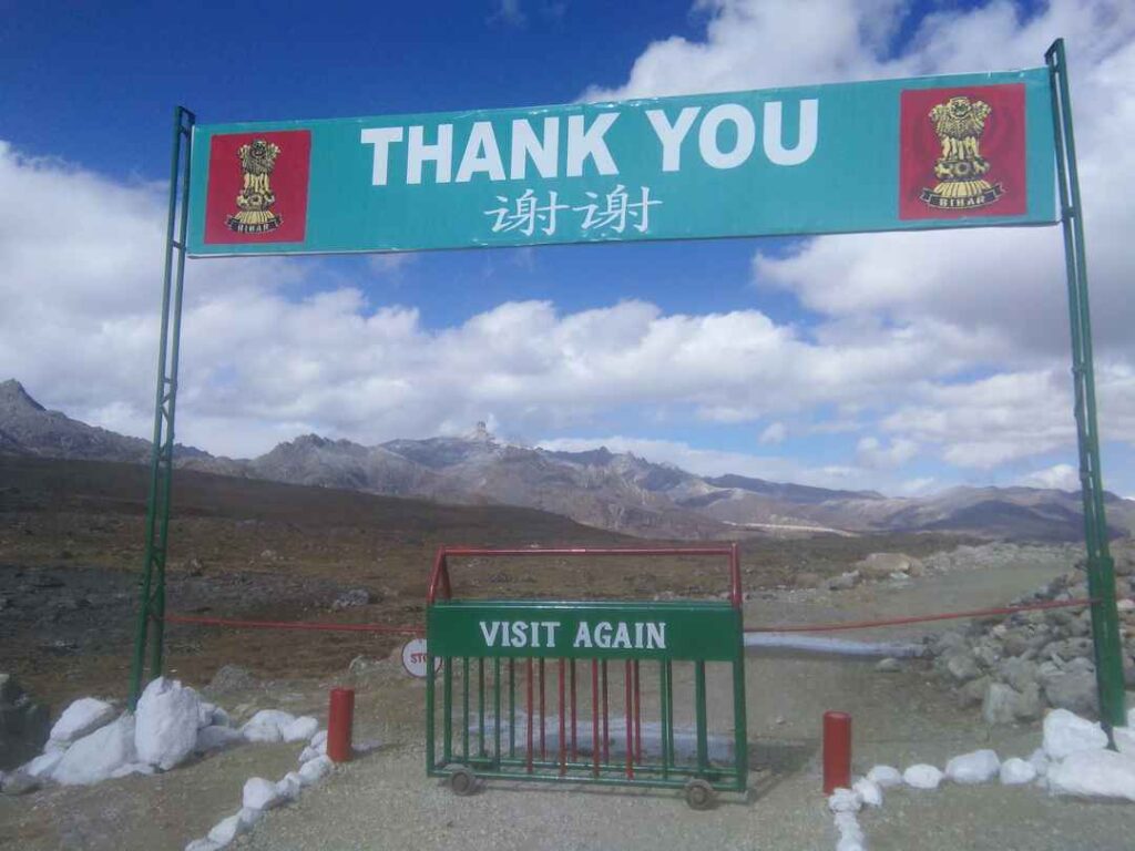
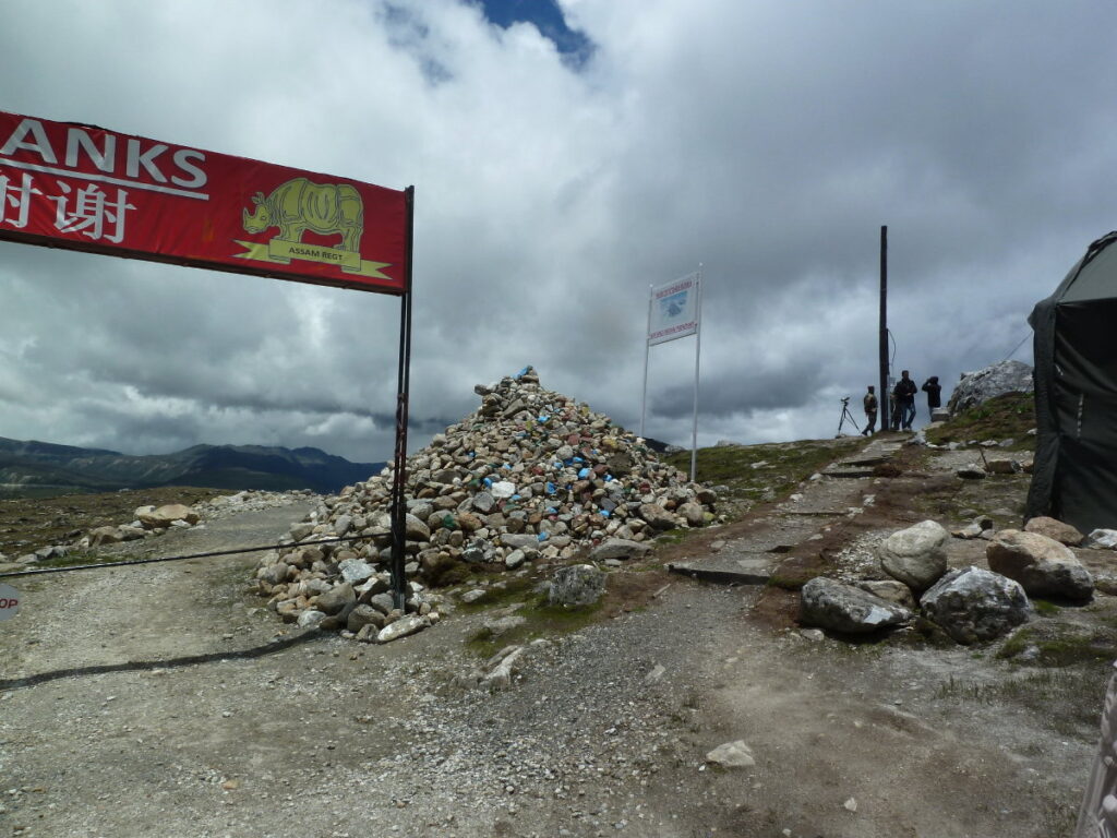
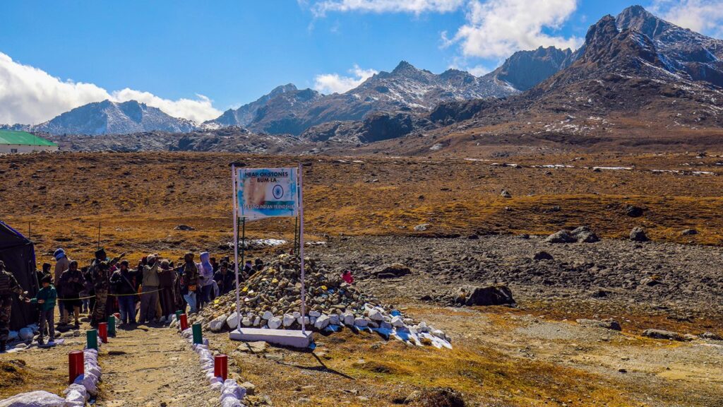
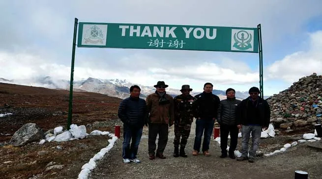
Bumla Pass holds immense historical importance due to its role in the 1962 Sino-Indian War. It was through this very pass that Chinese troops advanced into Indian territory during the conflict. The scars of that war still echo in the region, but today, Bumla stands as a symbol of friendship and cooperation between India and China. The pass is one of the four officially agreed Border Personnel Meeting (BPM) points between the Indian Army and the People’s Liberation Army (PLA) of China. Regular meetings are held here to promote peace and understanding between the two nations.
The pass also carries cultural and spiritual significance. Historically, it served as a trade route between the Monpa tribes of Tawang and Tibetan traders. The ancient trail was used for exchanging goods such as salt, wool, and barley, fostering centuries of cross-border cultural exchange. Even today, the local Monpa people regard the region as sacred, with several monasteries and prayer flags dotting the route, adding a spiritual aura to the journey.
Travel Experience and Route
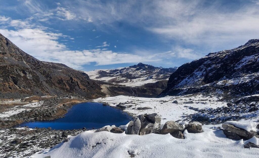
Reaching Bumla Pass is an adventure in itself. The journey begins from Tawang, a picturesque hill town in Arunachal Pradesh known for its ancient monastery and serene landscapes. The distance from Tawang to Bumla Pass is around 37 kilometers, and the drive takes approximately 2 to 3 hours depending on weather and road conditions. The route passes through several scenic points such as Pankang Teng Tso Lake (also known as Madhuri Lake) and the Y Junction, where the road splits toward Bumla and Sangestar Lake.
Due to its proximity to the international border, travelers require a special permit to visit Bumla Pass. Indian citizens can obtain this permit from the Office of the Deputy Commissioner in Tawang and the Indian Army cantonment. Foreign nationals are not allowed to visit the pass due to security restrictions. The best time to visit is between May and October when the roads are relatively clear of snow. During winter, heavy snowfall often blocks the route, making travel difficult.
Climate and Travel Tips
The weather at Bumla Pass is unpredictable and can change rapidly. Even during summer, temperatures remain low, often dropping below freezing. Visitors are advised to carry warm clothing, gloves, and sturdy footwear. Oxygen levels are low at such high altitudes, so acclimatization in Tawang before the trip is essential to avoid altitude sickness. Photography is allowed in designated areas, but certain zones near the border are restricted for security reasons.
Conclusion
Bumla Pass is not just a geographical landmark but a living testament to India’s history, culture, and military valor. It offers travelers a unique blend of natural beauty, historical depth, and patriotic pride. The journey to Bumla is more than a scenic drive—it is an emotional experience that connects visitors to the spirit of the Himalayas and the resilience of the people who call this remote frontier home.