SITTONG-LAPCHAJAGAT-TINCHULEY
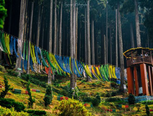
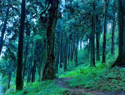
Introduction: The word Tinchuley means three ‘Chullas’ or ovens. Tinchuley is a small village near Darjeeling which has become famous in recent years due to the effort of local people in developing community tourism. The leading effort comes from the…
SANTALABARI-CHILAPATA-JALDAPARA-LATAGURI
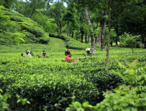
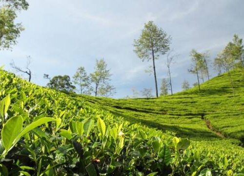
Introduction : The Dooars or Duars are the alluvial floodplains in northeastern India that lie south of the outer foothills of the Himalayas and north of the Brahmaputra River basin. This region is about 30 km (19 mi) wide and stretches over about 350 km (220 mi) from the Teesta River in West Bengal to the Dhanshiri River in Assam. The region forms the…
SANDAKPHU
Introduction: Sandakphu is a mountain peak in the Singalila Ridge on the border between India and Nepal. It is the highest point of the ridge and of the state of West Bengal, India. The peak is located at the edge of the Singalila National Park and has a small village…
RISHOP-LAVA-KOLAKHAM-KALIMPONG-TINCHULEY-LEPCHAJAGAT
Introduction: The word Tinchuley means three ‘Chullas’ or ovens. Tinchuley is a small village near Darjeeling which has become famous in recent years due to the effort of local people in developing community tourism. The leading effort comes from the…
LATAGURI-JALDAPARA-CHILAPATA
Introduction : The Dooars or Duars are the alluvial floodplains in northeastern India that lie south of the outer foothills of the Himalayas and north of the Brahmaputra River basin. This region is about 30 km (19 mi) wide and stretches over about 350 km (220 mi) from the Teesta River in West Bengal to the Dhanshiri River in Assam. The region forms the…
KURSEONG-LEPCHAJAGET-TINCHULEY-BARAMANWA-DARJEELING
Introduction: Tinchuley means three ‘Chullas’ or ovens. Tinchuley is a small village near Darjeeling which has become famous in recent years due to the effort of local people in developing community tourism. The leading effort comes from the Gurung family who…
KOLAKHAM-RISHOP-LAVA
Introduction: Lava is a small hamlet situated 34 kilometres (21 mi) east of the town of Kalimpong near Algarah in Kalimpong district of the state of West Bengal, India. Lava is situated at an altitude of 7,016 feet (2,138 m). It is one of the few places in West Bengal to receive…
KALIMPONG-TINCHULEY-DARJEELING-LEPCHAJAGET
Introduction: The word Tinchuley means three ‘Chullas’ or ovens. Tinchuley is a small village near Darjeeling which has become famous in recent years due to the effort of local people in developing community tourism. The leading effort comes from the…
KALIMPONG-LAVA-RISHOP
Introduction: Lava is a small hamlet situated 34 kilometres (21 mi) east of the town of Kalimpong near Algarah in Kalimpong district of the state of West Bengal, India. Lava is situated at an altitude of 7,016 feet (2,138 m). It is one of the few places in West Bengal to…
JHANDI-RISHOP-RAMDHURA
Introduction : Rishyap is a small village and hill station in the Kalimpong district of the state of West Bengal, India. Rishyap is also spelt as Rishop. Rishyap was developed as a tourist destination recently in 1998. There are many myths and legends associated with the name…